Precision Agriculture
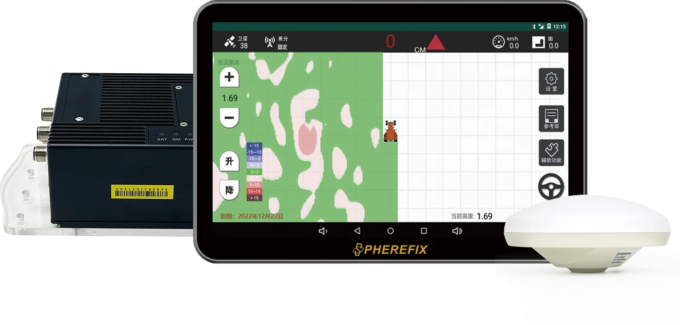
SAG20 Agricultural Satellite Land Leveling System
Satellite land leveling system for precise agricultural land preparation and water-saving operation.
SAG20Satellite Land Leveling Systemagri automation
Source Page Excerpt
SAG20 product overview from Spherefix source content.
SAG20 Satellite Land Leveling System enables high-precision, large-area land leveling with GPS/GLONASS for efficient farming.
Original source page
- Details extracted from the matching Spherefix product page.
- Feature and workflow sections below use source-page excerpts where available.
- Technical specifications remain editable and can be replaced by final datasheets.
Product Features
Extracted selling points from the source product page.
These blocks summarize the corresponding Spherefix source page while keeping the current layout compact.Comprehensive Network Signal Coverage
24/7 Continuous Operation Multi-Purpose
It ensures that land
is leveled to a uniform plane, achieving precise and consistent grading.
It provides real-time visualization
of agricultural machinery operation trajectories and terrain elevation maps, enabling precise and visible land leveling.
The intelligent display tablet
features a 10.1-inch high-definition screen with multi-touch instant response.
It is water-proof, dust-proof,
and shock-proof.
The ECU controller enables
multi-system control and real-time monitoring and adjustment of sensors.
Field Workflow
Application scenarios extracted from the source page.
SAG20 Agricultural Satellite Land Leveling System can be positioned around the application scenarios below. Replace or expand these excerpts when final localized sales copy is ready.
Leveling Efficient Terrain Handling Arid Land Reclamation
Application image / workflow screenshot replaceable
Workflow Framework
From product selection to field deployment.
Choose Model
Compare SAG20 with products in Agri-Automation.
Confirm Configuration
Match receiver, controller, radio, software, accessories or sensor options.
Deploy in Field
Follow the application workflow and correction method for the project environment.
Get Support
Use manuals, videos, remote support and spare parts for long-term operation.
Technical Specifications
Specification groups ready for final engineering review.
Existing catalog data is displayed first. Empty or incomplete values can be replaced later with final datasheet wording, downloadable PDFs and localized measurement units.
Communication
ModulePrecision agriculture
CategoryLand Leveling
General
TypeSatellite Land Leveling System
Other
ModelSAG20
SubcategoryPrecision Agriculture
Downloads & Support
Reserve space for datasheets, manuals, software and dealer materials.
Add final PDF files, quick-start guides, firmware notes, CAD files, product videos or dealer presentation documents when ready.
Related Products
More models from the same product family.
Precision Agriculture
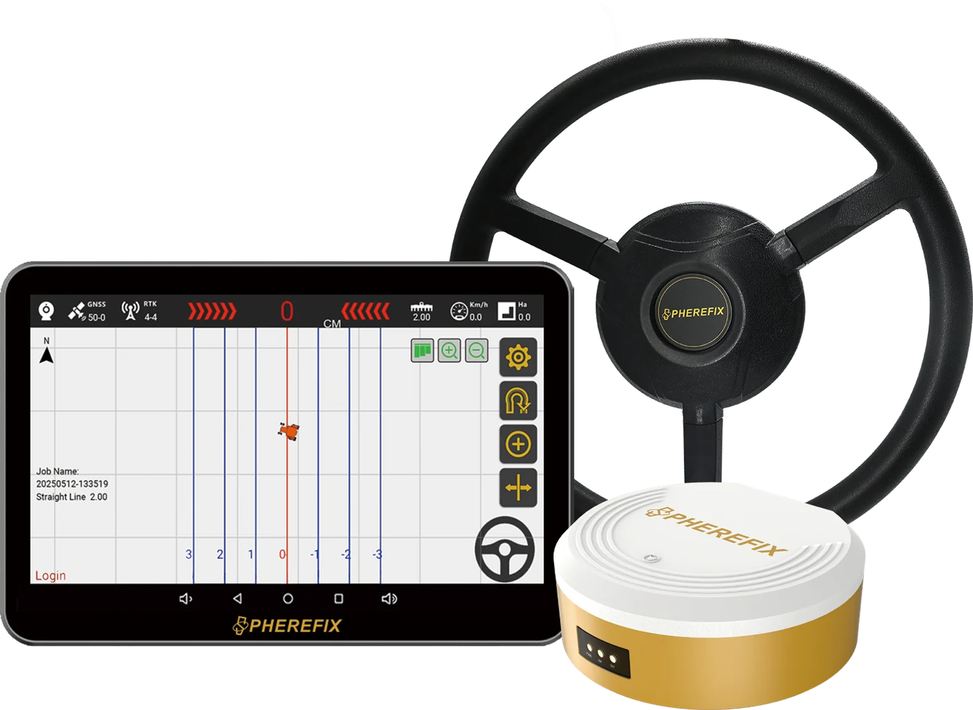
SAG10 Autonomous Steering System
Autonomous Steering SystemAutonomous steering system for precision agriculture, straight-line and curved-path operation.View details
Machine Control
SMC10 Dozer Control System
Dozer Control SystemMachine control system for dozer guidance and earthwork accuracy improvement.View details
Machine Control
SMC20 Excavator Guidance System
Excavator Guidance SystemExcavator guidance system for construction earthwork and machine-control workflows.View detailsFAQ
Buyer questions to complete before launch.
What applications is SAG20 suitable for?
SAG20 Agricultural Satellite Land Leveling System is positioned for Agri-Automation & Machine Control. Replace this placeholder with final buyer scenarios, target users and recommended accessories.
What comes with SAG20?
Reserve this answer for the package list, standard accessories, optional kits, warranty period and dealer support terms.
Can SAG20 integrate with existing workflows?
Add confirmed software, controller, correction source, data format, sensor, machine or third-party compatibility details here.
How can I get price and product files?
Send target country, application, quantity and required configuration through the contact form. The sales team can provide quotation, datasheet and product recommendations.
Need price, distributor support or product files?
Send model, target country, quantity and application. Spherefix sales will recommend the right product path.